AERIAL
Aerial
FAA Certified Drone Pilot
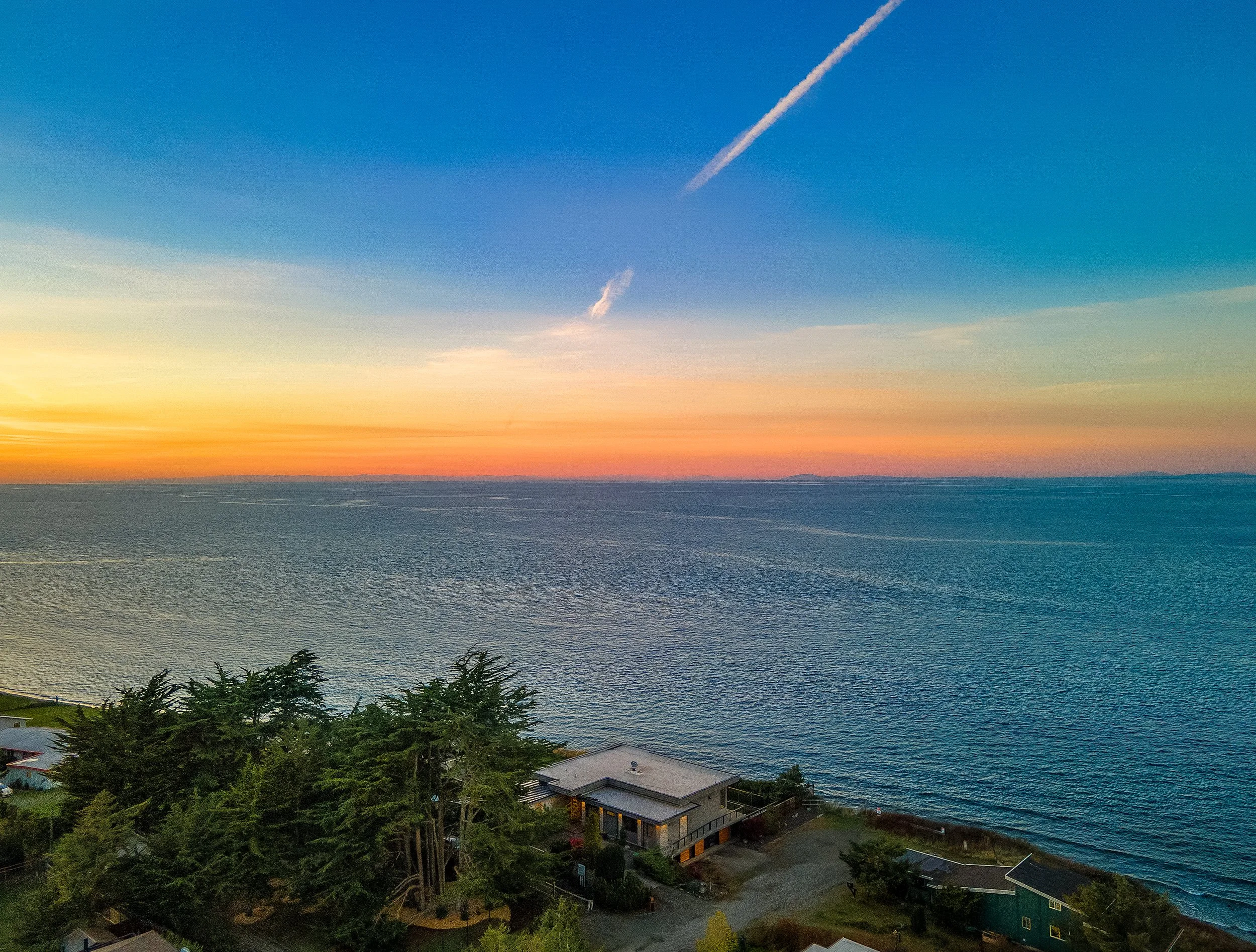
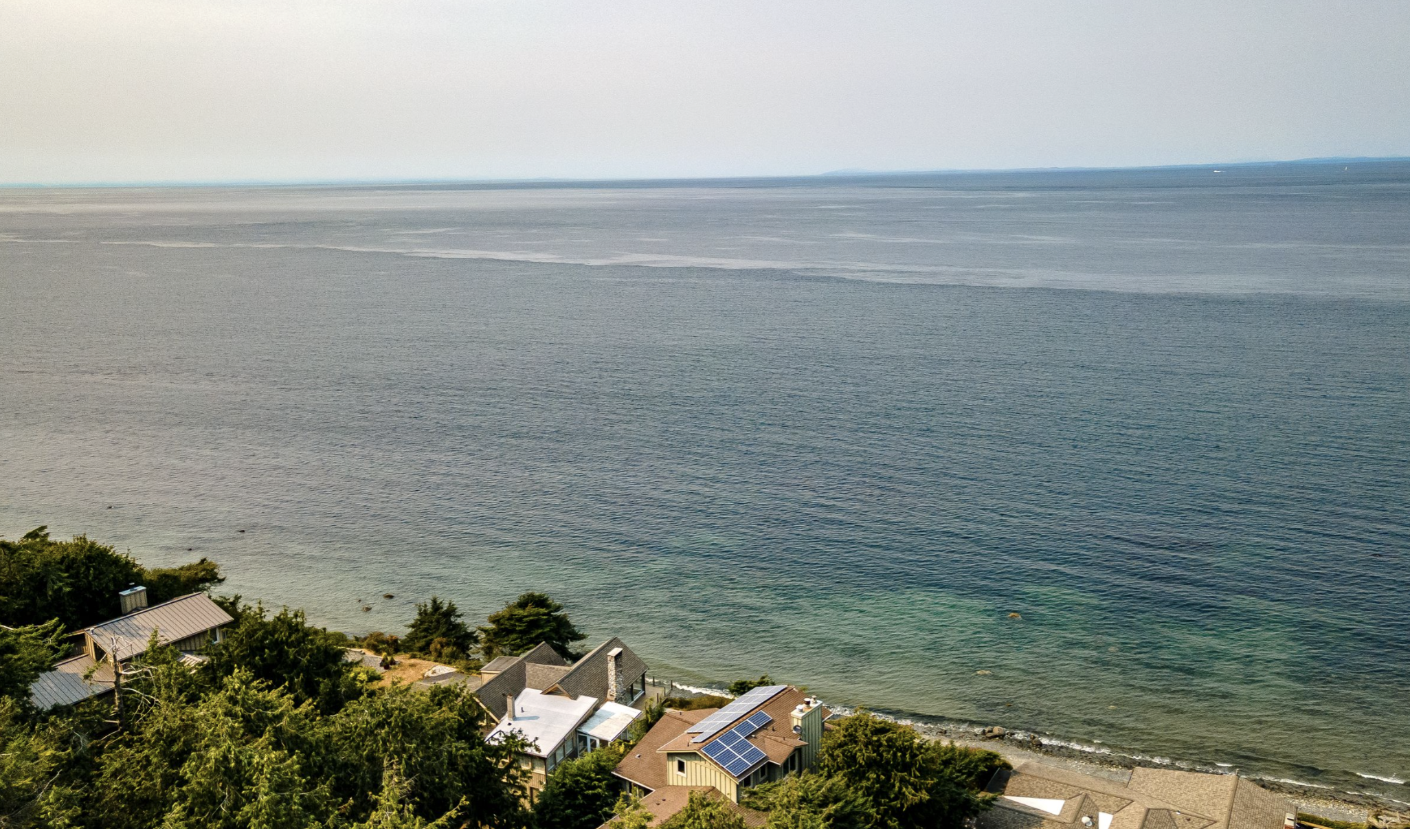
Aerial photography reveals how a property lives within its landscape. From sweeping views of the lot and surrounding area to proximity to water, trails, and landmarks, drone imagery adds depth, scale, and context—and can even support landscaping or future expansion planning.
RECENT WORK
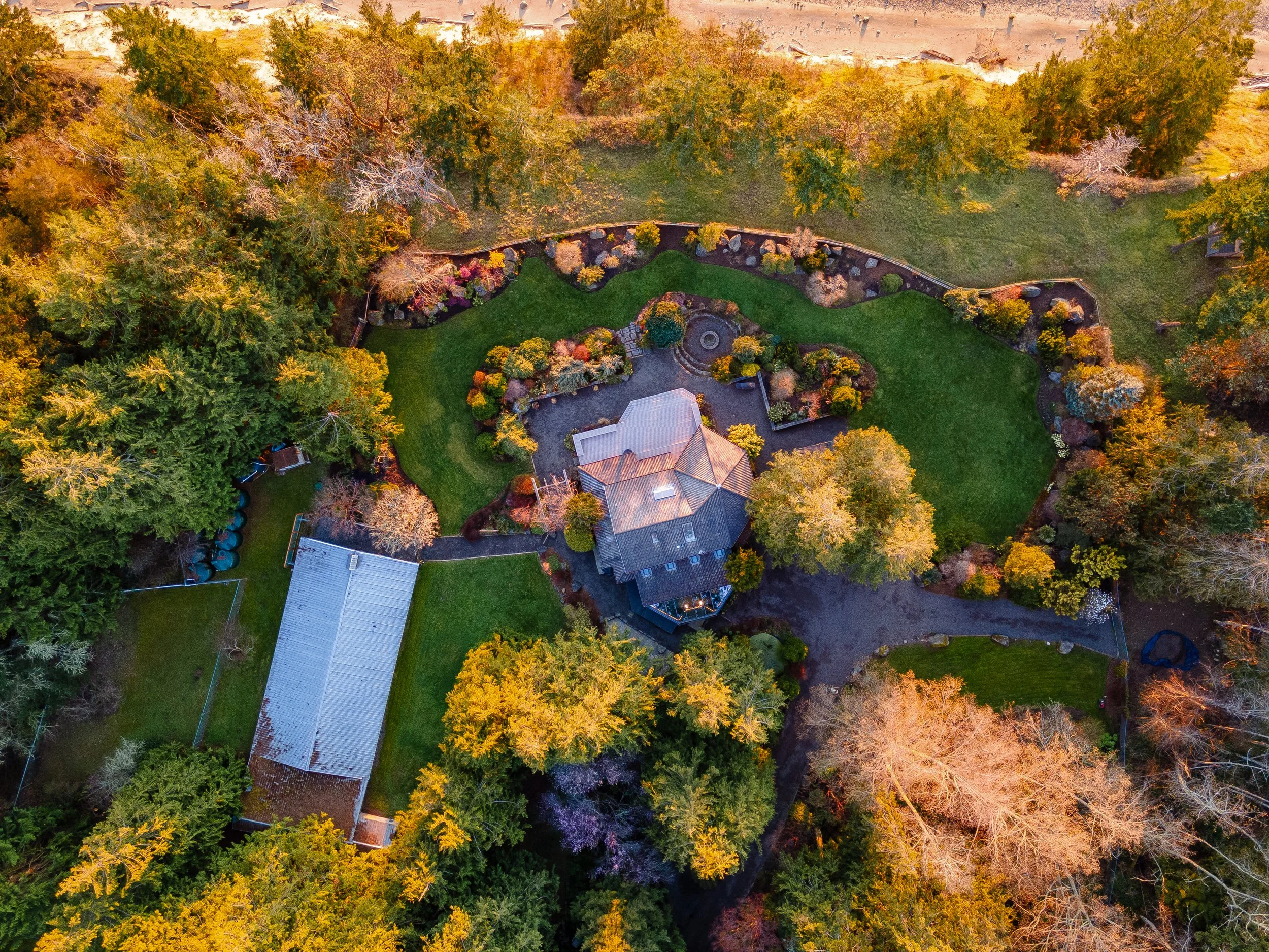
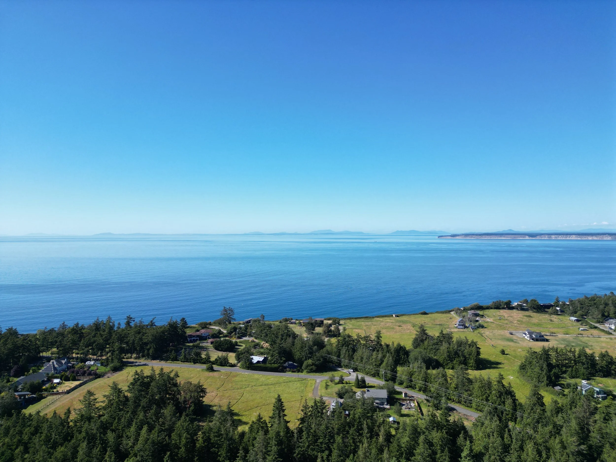
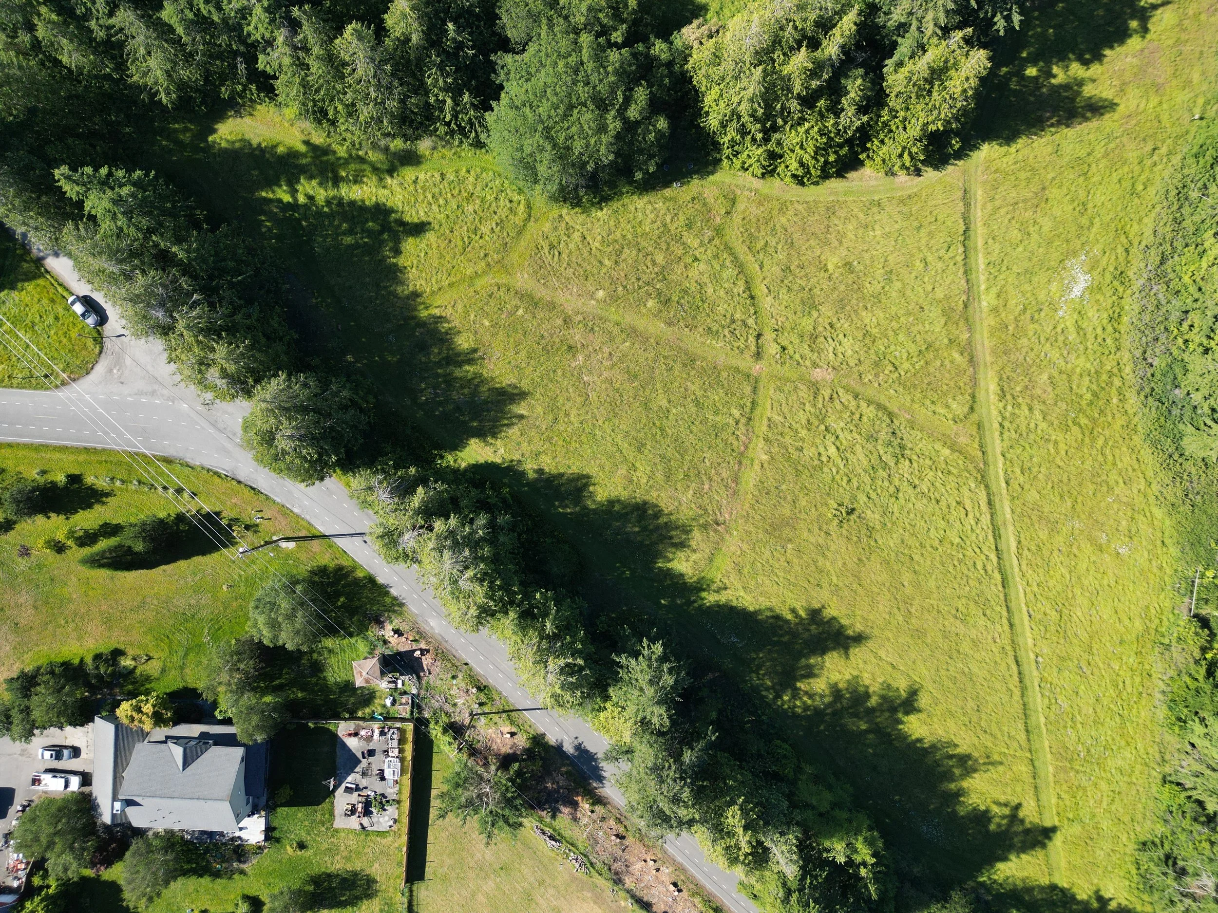
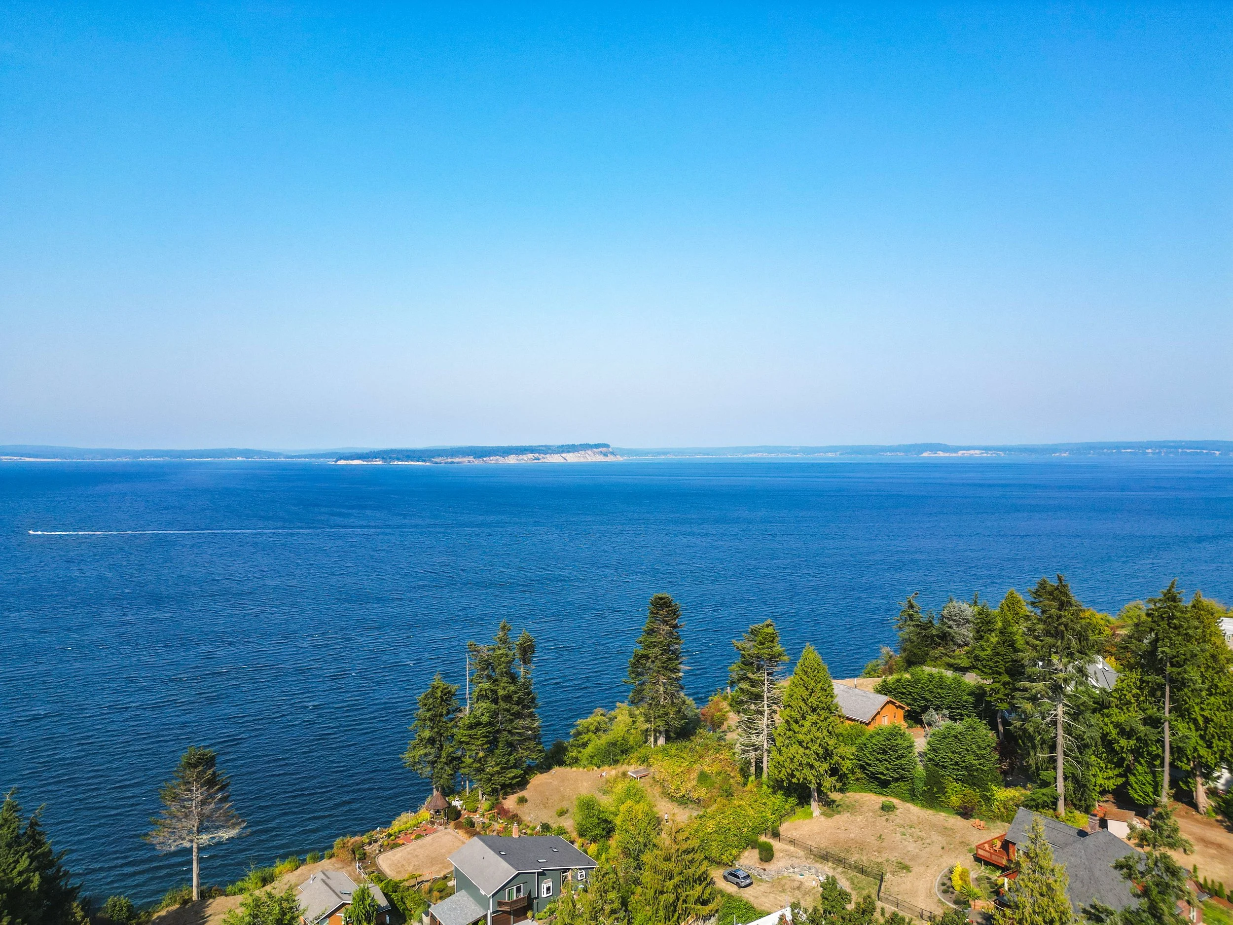
Designed to showcase scale, boundaries, and surrounding context, standard aerial photography captures elevated views that help the viewer understand location, layout, and proximity to key features.
Ideal for land listings, expansive properties, and commercial spaces where setting matters.
Perfect when paired with a standard or large real estate shoot
Standard Aerial
Recommended for vacant land, large acreage, and commercial properties
Add-on Aerial
Available when booked alongside a real estate photography package

Let’s Get Started
Reach out and we can discuss your vision.